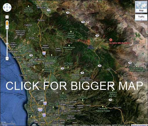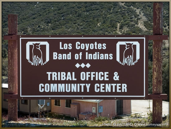
DIRECTIONS LOS COYOTES Reservation Directions to the Los Coyotes Indian Reservation and campgrounds: FROM SAN DIEGO: Interstate15 north to Scripps Poway Parkway east. Scripps Poway Parkway east ends, turn left onto Highway 67 north. (Or shortcut from EL CAJON, take highway 67 north). Highway 67 north turns into Main Street in Ramona which becomes Highway 78 east. Continue on Highway 78 east into Santa Ysabel. Turn left on Highway 79 north (by Dudley's Bakery) towards Warner Springs. Travel for about 12 miles and turn right on San Ignacio Road east (just before you reach the gas station). Follow this road for about six miles until you enter the reservation and what looks like a park welcoming station. Pass that area until you see the above pictured tribal office sign. The campgrounds are just a ways past the Los Coyotes tribal office. FROM LOS ANGELES: Interstate15 south to Scripps Poway Parkway east Scripps Poway Parkway east ends, turn left onto Highway 67 north Highway 67 north turns into Main Street in Ramona which becomes Highway 78 east Take Highway 78 east into Santa Ysabel Turn left on Highway 79 north (by Dudley's Bakery) towards Warner Springs Travel for about 12 miles and turn right on San Ignacio Road east (just before you reach the gas station) Follow this road until you enter the reservation and what looks like a park welcoming station Pass that area until you see the above pictured tribal office sign The campgrounds are just a ways past the Los Coyotes tribal office. |
|
Kumeyaay Indians Home • About Us • Mission Statement • Press Kit • Contact Us |