 |
 |
|
|
|
|
||||||||||||
 |
 |
 |
|
 |
 |
|
|
 |
|
||
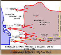 |
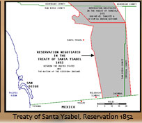 |
|
|
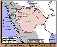
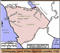
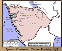
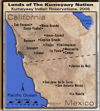
MAPS of KUMEYAAY HISTORY 1769-2026 highlight Kumeyaay points of history, the arrival of the Spanish, the Spanish expansion into Kumeyaay Indigenous territory, the Kumeyaay wars with the Spanish and Mexican invaders to regain their Indigenous tribal lands and stop abusive aggression, the Treaty of Santa Ysabel 1852, the California Genocide and California Mission periods, including the current Kumeyaay bands of Native American Indians in Southern California and northern Mexico.
GROUND ZERO for the California Tribes:
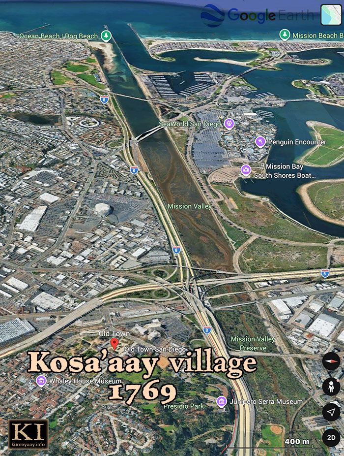
Historic present-day area of Kosa'aay, an ancient Kumeyaay village, now known as Old Town San Diego. This 3D satellite view pins the original spot on the map where Colonial Spanish priests, conquistadors, explorers and settlers entered California in the 1760s and established their original foothold on West Coast tribal lands. Perhaps this map highlights the most significant historical area for the change it ushered in.... Map: Google Earth 2026.
OLD INDIAN MAP:
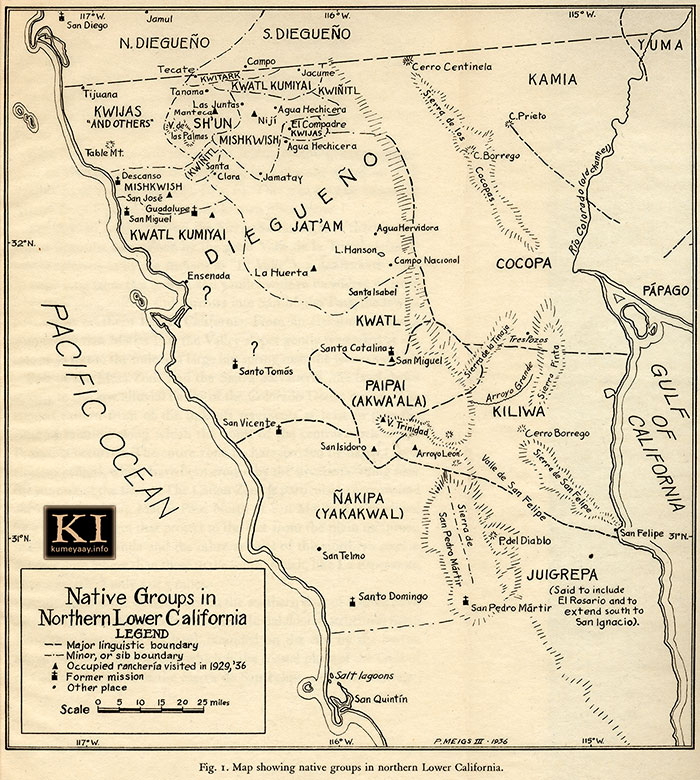
"Native Groups in Northern Lower California"
Map by PEVERIL MEIGS III 1936
HISTORICAL DIEGUENO MAP 1936 old antique map unique spellings of Mexico Diegueño Yuman tribes Mexican early 1900s, 1920s, including Jamul, San Diego, Tecate, Campo, Tijuana, Yuma, Tanama, Kwitark, Jacume, Cerro Centinela, Kamia, C. Prieto, Kwatl Kumiyai, Kwiñitl, Sierra de los Cocopas, Cocopa, C. Borrego, Rio Colorado Channel, Papago, Kwijas, Las Juntas, Niji, Agua Hechicera, El Compadre, Mishkwish, Santa Clara, Jamatay, Descanso, San Jose, Guadalupe, San Miguel, Kwatl Kumiyai, Jat'am, Agua Hervidors, Campo Nacionel, Ensenada, Santa Catalina, Sierra de la Tinaja, Sierra Pinto, Arroyo Grande, Cerro Borrego, Sierra de San Felipe, Valle de San Felipe, Sierra de San Pedro Martir, Arroyo Leon, P. del Diablo, Santo Tomos, San Vincent, San Telmo, Santa Domingo, San Pedro Martir, Juigrepa, San Quintin.

DOWNLOAD "Lands of The Kumeyaay Nation" Map.
KUMEYAAY.INFO provides a high-resolution, 12x14-inch print resolution JPEG graphic file in its Press Kit -- FOR NON-PROFIT AND EDUCATIONAL USE ONLY.
MAIN MAPPING PROJECT PAGE.
Pinpoints current locations and Colonial history -- the complete index of 13 Kumeyaay Indian reservations in the United States of America, and four Kumiai tribu ejidos in Mexico; 17 tribal reservations in the San Diego County; old Indian maps; plus a high-resolution interactive casino locator map listing all the tribally-owned Native American casinos and resorts in Southern California.
GARY G. BALLARD built the Kumeyaay Nation map from scratch using Adobe® Photoshop®. Map © 2001 G. BALLARD • ALL RIGHTS RESERVED • Revised 2026 to insert a clean topographical ocean/land layer in my original map.
My original high-resolution Master .psd map files are over 450 megabytes each.
The Master file is fully editable and will print vector sharp over 48-inches wide.
Stock Image licensing rights available for purchase.
