KUMEYAAY LANDS MAP Spanish Landing San Diego 1769
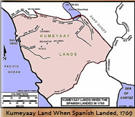
This Mike Connolly Miskwish, Campo-Kumeyaay website historical map "Kumeyaay Lands When The Spanish Landed 1769" picture details the Indigenous tribal lands of the Kumeyaay Nation upon the 1769 arrival of the first European immigrants into the San Diego area.
Kosa'aay Kumeyaay village
GROUND ZERO for the California Indigenous Tribes:
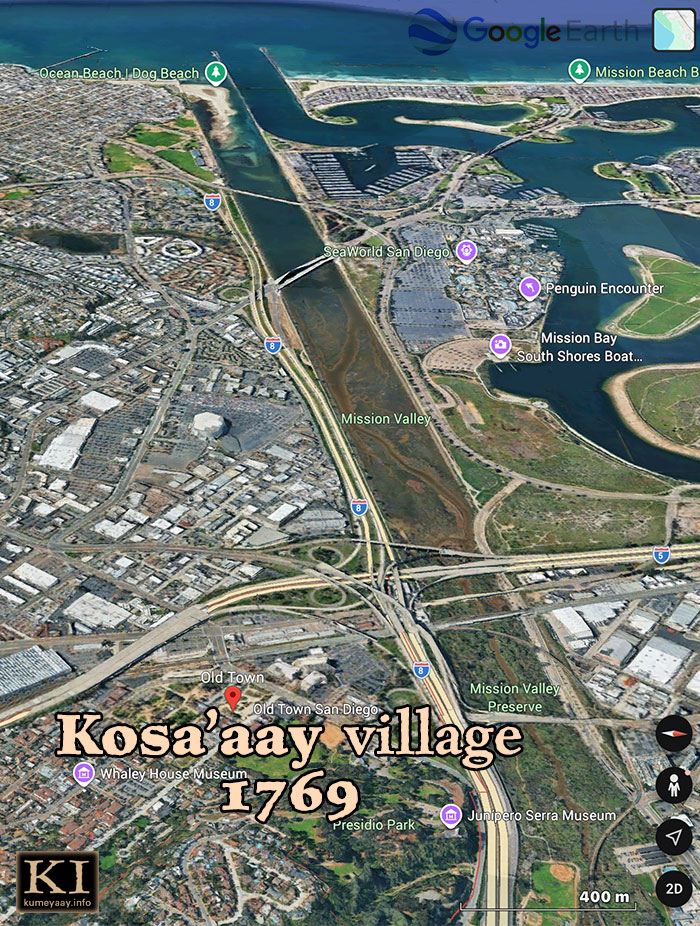
KUMEYAAY MAPPING PROJECT: Historic present-day area of Kosa'aay pictured in 2026, now known as Old Town San Diego, a popular tourist hotspot.
Anthropologists speculate the local Aboriginal tribes, including the Kumeyaay, were living a Late Prehistoric Period (Stone Age) lifestyle -- with no use of metals or cloths -- when Europeans "Discovered" them in 1542.
I can imagine this is how the 16th and 18th century tribesmen appeared on the shorelines of "Discovery" 1542, and "Invasion" 1760s (minus the cloth draping around their waists):
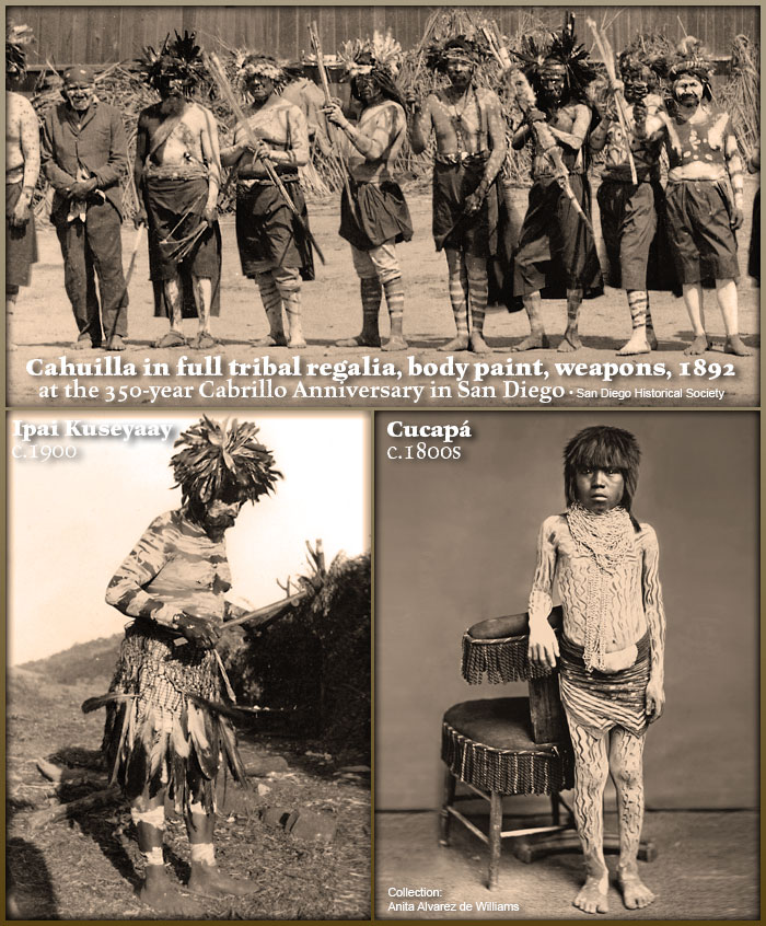
In the 1770s -- when the Spanish conquistadors went to war with the Kumeyaay over control of their prime ancestral homelands, resources and freedom:
It was Spanish steel swords, body armor, cannons and musket fire against primitive sticks and stones.
Explore the original California Indigenous tribal CULTURE.
Follow the four tribes considered Indigenous to the San Diego region along our KUMEYAAY HISTORY TIMELINE.

Five more historical MIKE CONNOLLY MISKWISH Campo Maps may be accessed here:
Click on Kumeyaay map thumbnails for higher resolution copy.
The Mike Connolly Miskwish San Diego County historical tribal Kumeyaay mapping projects are featured in the Campo-kumeyaay History section and detail Indian history tribal homelands and facts about Southern California first nations of desert, mountain, coastal, river Indians and how today's current California Indian reservations were established in southwest United States.
• Kumeyaay Territory when Spanish Landed, 1769
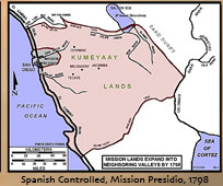
• Spanish Mission Lands Expand into Kumeyaay homelands, 1798
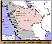
• Maximum Extent of Spanish Control, 1822
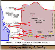
• Kumeyaay Attack Indigenous Ranchos and Coastal Territory, 1836-1842
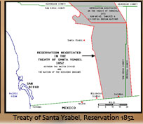
• Kumeyaay Reservation Negotiated, Treaty of Santa Ysabel, 1852 (United States and the Nation of the Dieguino Diegueño Indians)
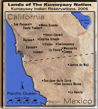
• Lands of the Kumeyaay Nation, 2005
|